
South Fork National Recreation Trail and Smoky Creek Trail
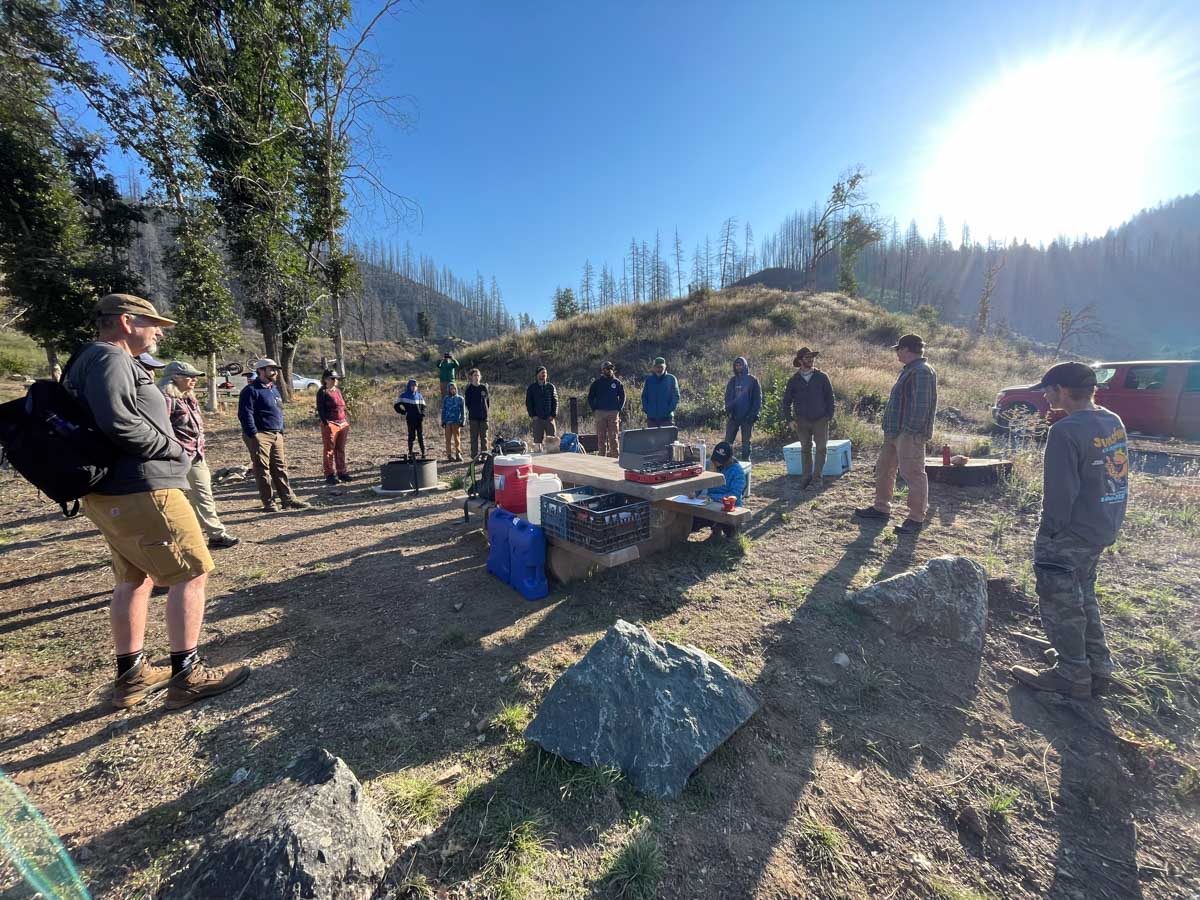
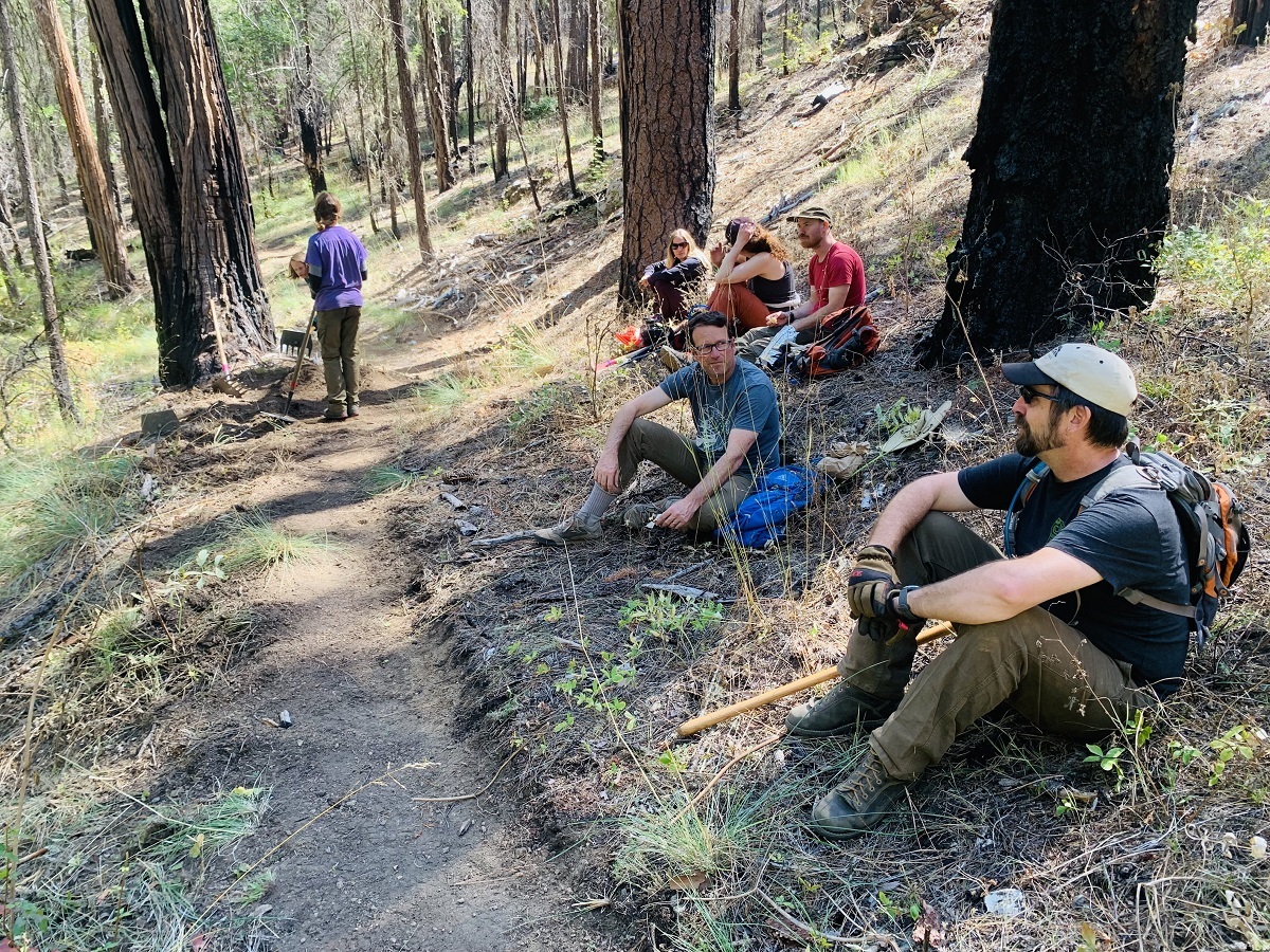
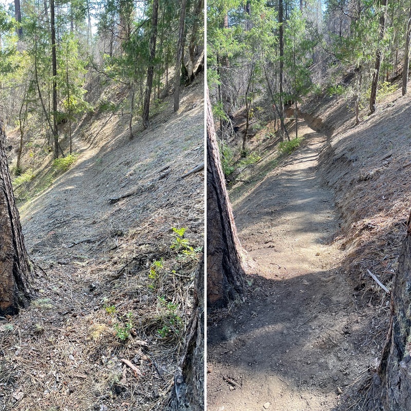
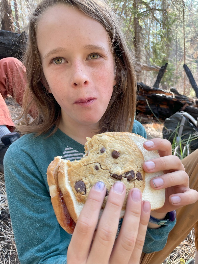
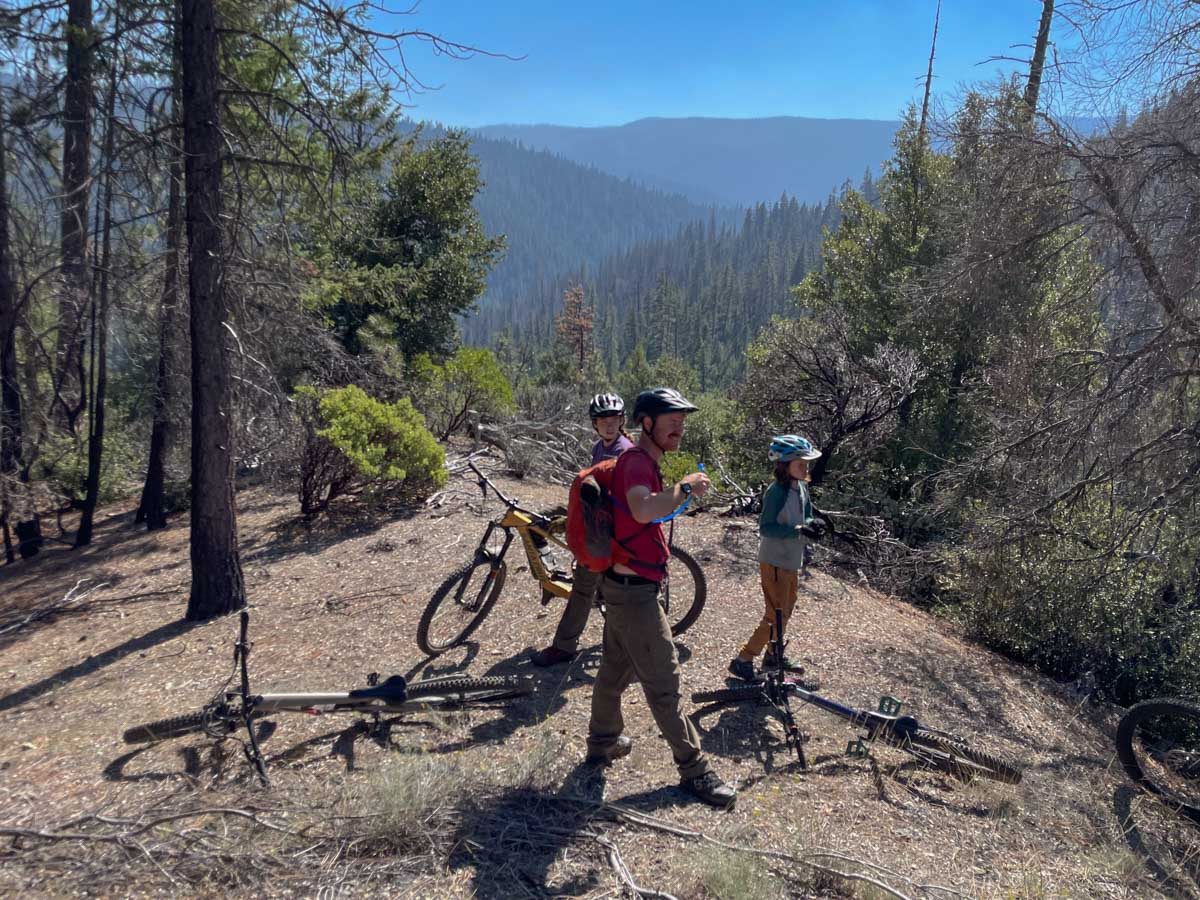
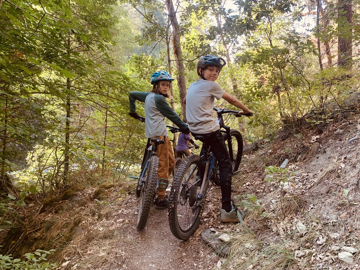
A first of its kind collaborative kicked off last weekend on the Shasta-Trinity National Forest. BFTA was joined by Trinity Trail Alliance, RCMBA, and The Watershed Center to forge new pathways for recreation and trail work. We had 18 volunteers join for a day of trail work on the Smoky Creek Trail followed by a day of mountain bike riding. The trail work involved brush removal and tread work and the riding was a 15 mile route on the Smoky Creek Trail to the South Fork NRT back to our campground at Hell Gate.
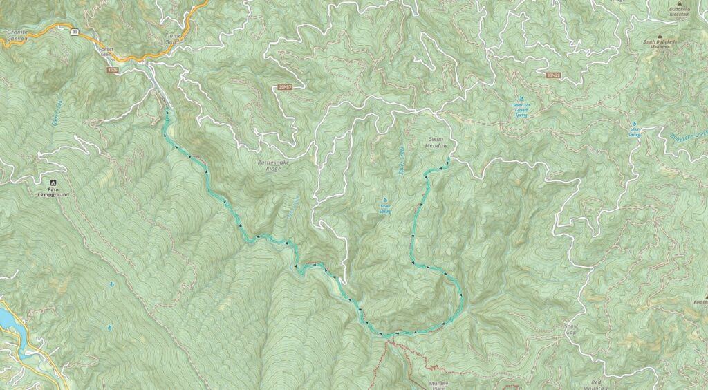
Awesome work everyone! How neat. Would it be possible to include a small map of the specific trail and general vicinity for those of us that are close by, but too far to be exactly familiar with certain NorCal trails?
Brayden — Great idea. I just added a map.