A WALKING SAMPLER

Rees Hughes – Post Author
Board MemberThis is Rees’ final year on the board after serving for seven years Thanks for all you do and have done Rees!
As the days get longer, the sun stronger, and flowers begin to emerge from their winter slumber, the sap begins to run in hikers too. I know that I start pulling out maps and guidebooks and dreaming about spring and summer about this time of the year. If you are like me and always have an eye out for new experiences, I’d like to suggest a walk on the Bigfoot Trail.
If you are not yet familiar with the Bigfoot Trail, it extends 360 miles following a backcountry arc from Crescent City to the Yolla Bollys in southern Trinity County passing though six wilderness areas, one national park and one state park along the way. It relies on a network of existing trails complemented by some little-used forest service roads as the trail snakes through the Klamath Knot. While you may be intimidated by the prospects of walking the entire Bigfoot Trail, there are a number of day hikes and weekend backpacking trips that might give you more of a bite-sized introduction to the Bigfoot experience.
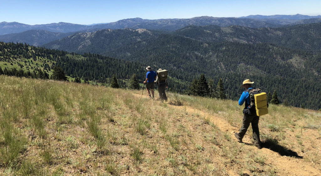
Based upon the experience of five Bigfoot veterans, here are five ways to dip your toes into the Bigfoot Trail. You can obtain more information including digital and hardcopy maps and other resources HERE.
Little Bald Hills – Paradise Trail (8.8 miles one-way)
From those who look for some respite from summer heat, this is a delightful destination. It is ideal for a car shuttle so that the walk can be completed one-way starting in the old growth redwoods of Jedediah Smith Redwoods State Park. The trail begins at the Little Bald Hills trailhead climbing steadily for several miles before reaching the ridgetop with its open meadows and views west to the ocean. At about 5 miles, the trail exits Redwood National Park and views shift to the east. At the 8-mile mark, turn left on the Paradise Trail for the final descent to the South Fork Road and the Paradise Trail parking area.
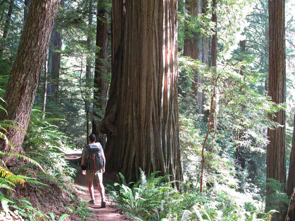
Poker Flat – Young’s Valley – Wilderness Falls (15.8 miles one-way)
This trip would best be a two-night (or longer) backpacking trip into the heart of the Siskiyou Wilderness. From Poker Flat this walk highlights astounding plant diversity, open valleys, and big trees. The trail parallels beautiful Clear Creek for 8 miles and receives limited use. From near Cave Junction take the Happy Camp Road to Sutcliffe Road (FS 18N30), a right turn about 3.7 miles south of the California/Oregon border. Follow FS 18N30 for 1.9 miles to a right at Poker Flat Road (FS 18N33) and continue for 4.6 miles to the Poker Flat Trailhead. There is an alternative route that enters from the Bear Basin Botanical Area and the Doe Flat Trailhead. From that trailhead, in 3.5 miles you intersect with the Bigfoot Trail as it follows Clear Creek just 3 miles north of Wilderness Falls.
Coffee Creek – Packer’s Peak (2.8 miles one-way)
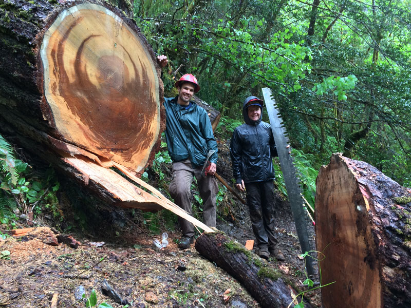
At 7,828’, Packer’s Peak is the highest point on the Bigfoot Trail. It is a grueling 3,000-foot climb in less than 3 miles, but you are rewarded at the top with unparalleled views of the wilderness and a sublime foxtail pine forest. The headwaters of the Salmon River are below and the granite of the Alps is just across the drainage. Walk another 1.4 miles north along the ridge to an old forest service cabin, spring, and delightful meadow. From Weaverville, follow Hwy 3 north to Coffee Creek. Make the long drive along Coffee Creek Road to the Packer’s Peak trailhead, just 1.4 miles before the Big Flat Campground and terminus of the road.
Waterdog, Russian, and Siphon Lake from South Russian Creek (7.0 miles one-way)
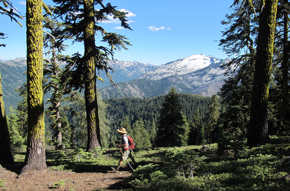
From the Idlewild Campground on the Sawyers Bar – Etna Road, follow FS 40N54. In 4.5 miles, turn right at the poorly marked intersection with FS 40N54A and continue .9 mile to the South Russian Creek trailhead. The trail, which at times can be difficult to follow, climbs steadily along the east side of South Russian Creek to an eventual crossing and steep climb out of the valley to shallow Waterdog Lake (5.5 miles). Spectacular Russian Lake lies about a quarter mile cross-country southeast of Waterdog Lake and Siphon Lake another 1.5 miles along the trail. Excellent camping is available near Waterdog and Russian Lakes. I actually made this a two-day loop by incorporating the Pacific Crest Trail to the Music Creek Trail and back down FS 40N54 to our car (roughly 20 miles total). The PCT through the Russian Wilderness offers some incredible views both to the east and west.
North Yolla Bolly Peak (7.5 mile round trip) and Blackrock Mountain Lookout (8.5 miles round trip)
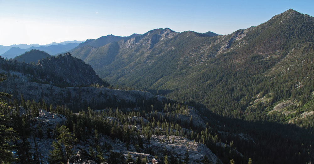
North Yolla Bolly Peak (7,863’) and Blackrock Mountain (7,755’), two of the highest peaks in the Yolla Bolly-Middle Eel Wilderness, lie within a short distance of each other and serve as guardians of the remote southern portion of the Bigfoot Trail. Once you have made the exceedingly long drive to Stuart Gap Trailhead, the trail climbs 2.5 miles to a saddle between the two peaks from which either can be reached. Blackrock Mountain offers somewhat better views than its twin and for that reason is home to a Forest Service fire lookout. On a clear day, views from either peak extend from the Trinity Alps to the north, the coast ranges to the west and south, Lassen Peak and the distant Mt. Shasta to the northeast, and the Sacramento Valley to the east. This area serves as the headwaters for Cottonwood Creek, one of largest tributaries of the Sacramento River, as well as the South Fork of the Trinity River. This area dries out later in the summer and water can be an issue. And too early, snow may remain until mid-June or later.
Because of the length of the drive, it is worth confirming the latest road conditions by calling 530.226.2457. From Weaverville, take Hwy 3 south approximately 51 miles making a left turn on Hwy 36. Continue east on Hwy 36 for about 9.4 miles to the intersection with Forest Road 30. Go south on paved Forest Road 30 8.8 miles to the Pine Root Saddle (5,018 ft). Turn left onto Forest Road 35, a rougher and narrower paved road, for 11.3 miles to Stuart Gap. From Stuart Gap continue straight on the narrow dirt road for 2 miles to the Stuart Gap trailhead. There is a restroom and primitive campsite at the trailhead.

Leave your thoughts...